Andhra Pradesh
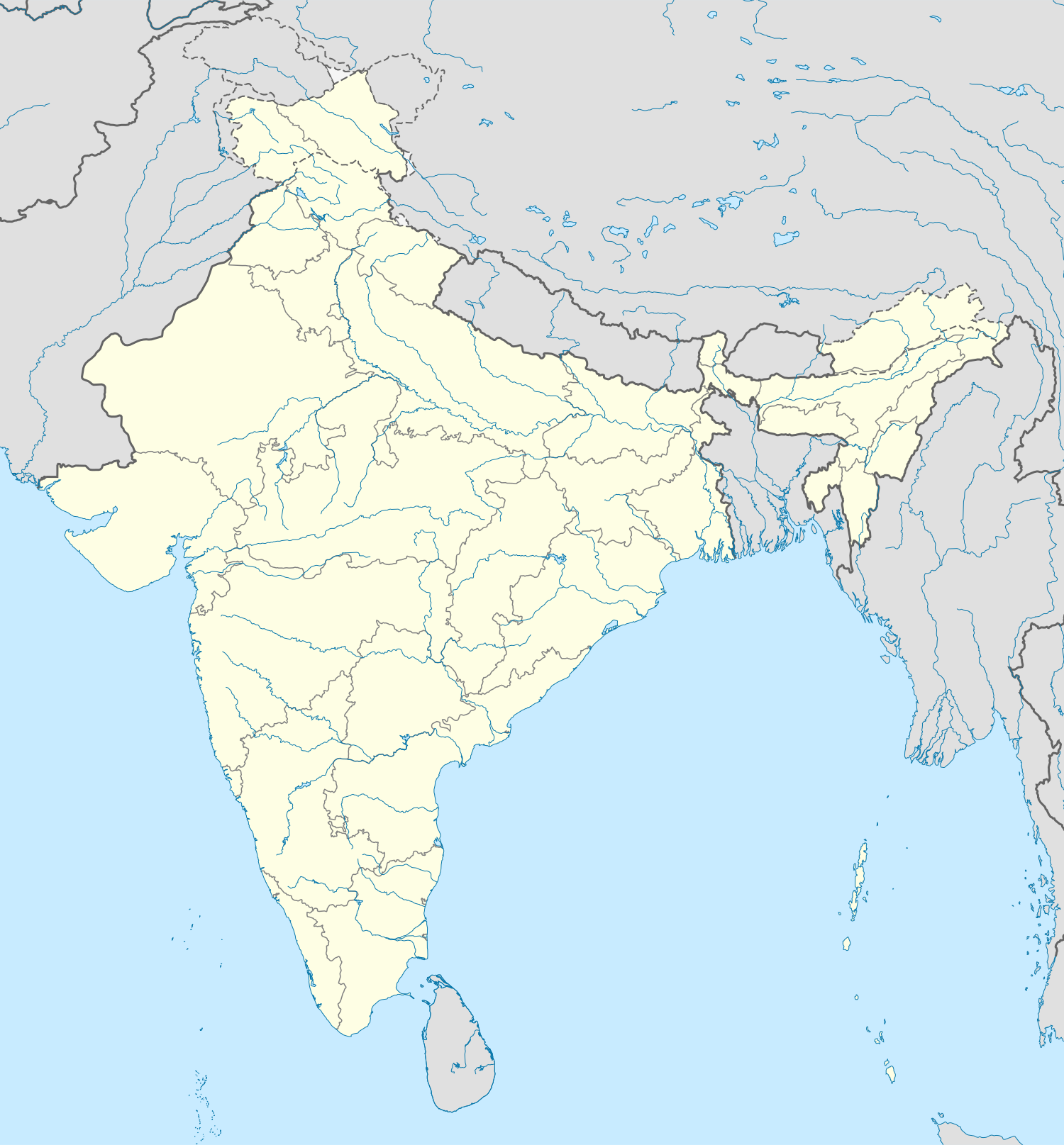 Andhra PradeshOdishaChhattisgarhTelanganaKarnatakaTamil NaduAndhra PradeshVisakhapatnamTirupatiAndhra Pradesh
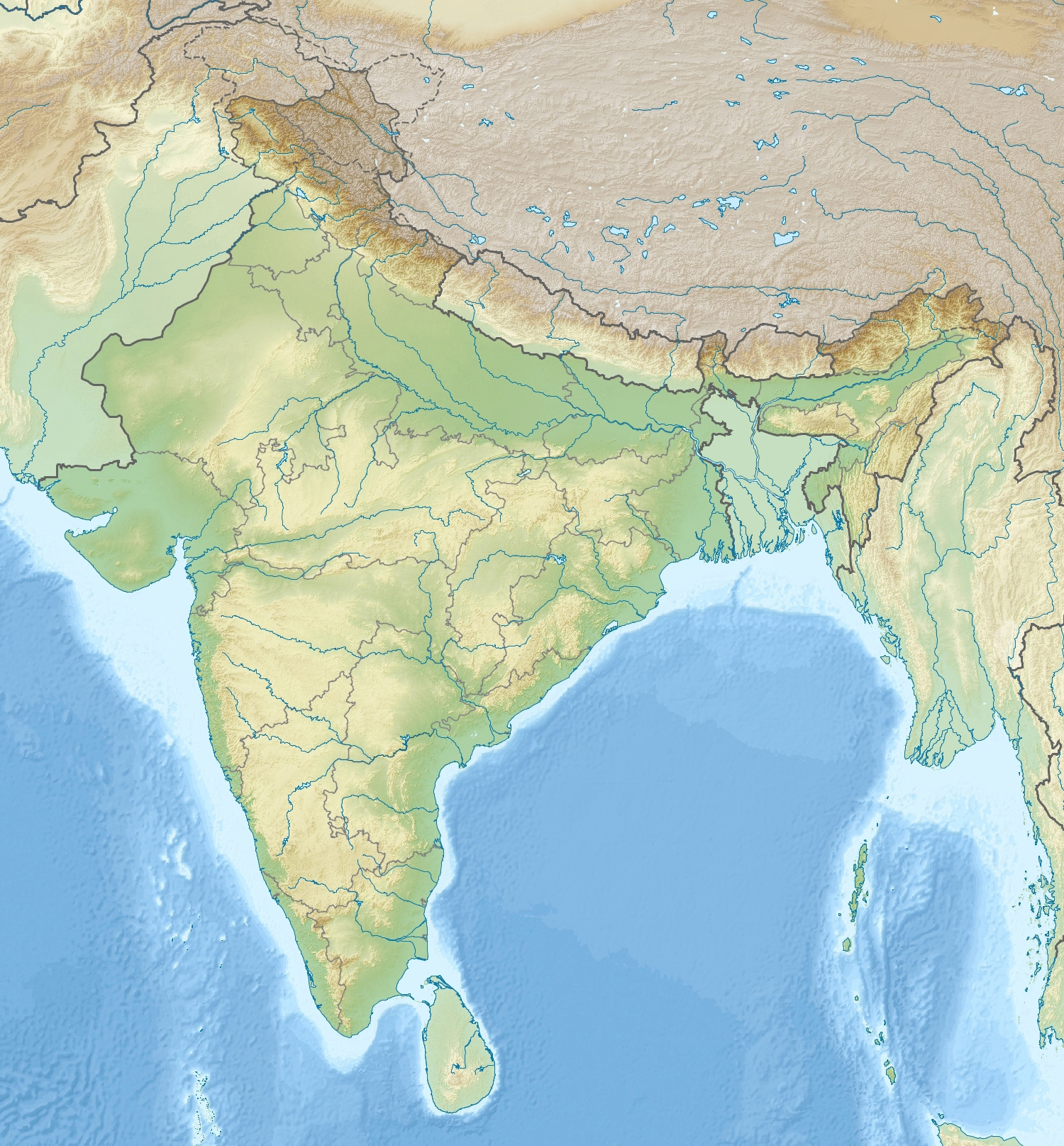 Godavari DeltaEastern GhatsAndhra PradeshSri Venkateswara NPCoringa WLSAndhra Pradesh
📌 Why in News?
The Buckingham Canal has returned to public attention amid renewed discussions on its restoration, navigability and potential role in improving urban drainage and flood management in Chennai. A historic man-made navigation canal running parallel to India’s Coromandel Coast. Extends for about 450 km, with approximately 250 km in Andhra Pradesh and 200 km in Tamil Nadu.
Syllabus & Relevance
Prelims: Geography — institutions, terminology and factual features connected with the development.
Mains: GS-1 — contemporary application of the relevant syllabus theme.
Current–static link: Revise the underlying institution, policy or concept together with this development.
Why it matters for India
A historic man-made navigation canal running parallel to India’s Coromandel Coast.
PRIP Scheme: Boosting India’s Pharma & MedTech Innovation Ecosystem
Static Foundation
Extends for about 450 km, with approximately 250 km in Andhra Pradesh and 200 km in Tamil Nadu.
Together with the Krishna and Godavari canal systems, it once formed an important navigable inland-waterway network.
Originally constructed in 1806 by Basil Cochrane and initially called the Cochrane Canal.
Taken over by the government in 1837 as the East Coast Canal.
Renamed Buckingham Canal in 1878, after the Duke of Buckingham and Chandos, Governor of Madras.
The canal suffers from encroachment, untreated sewage, solid-waste pollution and siltation, reducing its ecological and drainage capacity.
UPSC may test the states through which the canal passes, its historical evolution and coastal location.
Data, Reports, Cases & Examples
Extends for about 450 km, with approximately 250 km in Andhra Pradesh and 200 km in Tamil Nadu.
Originally constructed in 1806 by Basil Cochrane and initially called the Cochrane Canal.
Taken over by the government in 1837 as the East Coast Canal.
Renamed Buckingham Canal in 1878, after the Duke of Buckingham and Chandos, Governor of Madras.
SAFE Defence Fund: EU’s €150-Billion Push for Joint Defence Procurement
A recent study published in npj Natural Hazards identified 219 hanging glaciers in the Alaknanda basin of the Garhwal Himalayas, highlighting growing risks from glacier instability under rapid warming and climate variability.
Prelims Quick Facts
The Buckingham Canal has returned to public attention amid renewed discussions on its restoration, navigability and potential role in improving urban drainage and flood management in Chennai.
A historic man-made navigation canal running parallel to India’s Coromandel Coast.
Extends for about 450 km, with approximately 250 km in Andhra Pradesh and 200 km in Tamil Nadu.
Together with the Krishna and Godavari canal systems, it once formed an important navigable inland-waterway network.
Originally constructed in 1806 by Basil Cochrane and initially called the Cochrane Canal.
Taken over by the government in 1837 as the East Coast Canal.
Renamed Buckingham Canal in 1878, after the Duke of Buckingham and Chandos, Governor of Madras.
The canal suffers from encroachment, untreated sewage, solid-waste pollution and siltation, reducing its ecological and drainage capacity.
Mains-only layer✍️ Open Mains Perspective & Answer FrameworkClick to expand ↓
Mains Perspective
Background and key dimensions
- Originally constructed in 1806 by Basil Cochrane and initially called the Cochrane Canal.
- Taken over by the government in 1837 as the East Coast Canal.
- Renamed Buckingham Canal in 1878, after the Duke of Buckingham and Chandos, Governor of Madras.
- The canal suffers from encroachment, untreated sewage, solid-waste pollution and siltation, reducing its ecological and drainage capacity.
- UPSC may test the states through which the canal passes, its historical evolution and coastal location.
- The static–dynamic linkage is colonial water infrastructure → inland navigation → urbanisation → encroachment → flood resilience.
- A potential map-based question can connect the canal with the east coast and Chennai’s major urban waterways.
- SAFE Defence Fund: EU’s €150-Billion Push for Joint Defence Procurement
- A recent study published in npj Natural Hazards identified 219 hanging glaciers in the Alaknanda basin of the Garhwal Himalayas, highlighting growing risks from glacier instability under rapid warming and climate variability.
- Ice masses perched on steep mountain slopes or valley walls.
- They often form when a major valley glacier retreats and thins, leaving tributary glaciers at a much higher elevation.
- Unlike valley glaciers, they terminate abruptly above steep slopes and are prone to ice break-offs, icefalls and avalanches.
Analytical use
- Connect the development with its institutional, policy, economic, social, environmental or security implications only where supported above.
- In a Mains answer, separate the verified development from broader evaluation and use the named evidence precisely.
Way forward
- Base recommendations on the gaps and institutional responsibilities identified in the source-grounded points.
Answer Framework
Introduction
Begin with the immediate development and identify the central institution or policy issue.
Body
- Explain the relevant static concept.
- Present the principal source-backed facts.
- Analyse significance for India and the syllabus theme.
- Discuss supported challenges or implementation gaps.
- Use one named law, report, institution, date or example from the evidence box.
Conclusion
End with a balanced, institutionally feasible way forward without making claims beyond the available evidence.
Possible Mains Question
Examine the significance of “Geography + Environment & Ecology + Disaster Management”. Discuss its key implications and the way forward.