Geography
25,000 people affected by floods in Odisha's Balasore and Mayurbhanj districts
The development
What happened
Heavy monsoon rains have triggered flooding in Balasore and Mayurbhanj districts of Odisha, displacing around 25,000 people and submerging villages. Relief operations are underway as authorities monitor rising water levels in local rivers.
Map focus
20.95°, 85.10° · maps only where geography mattersOdisha
CountryIndia→StateOdisha
India locator
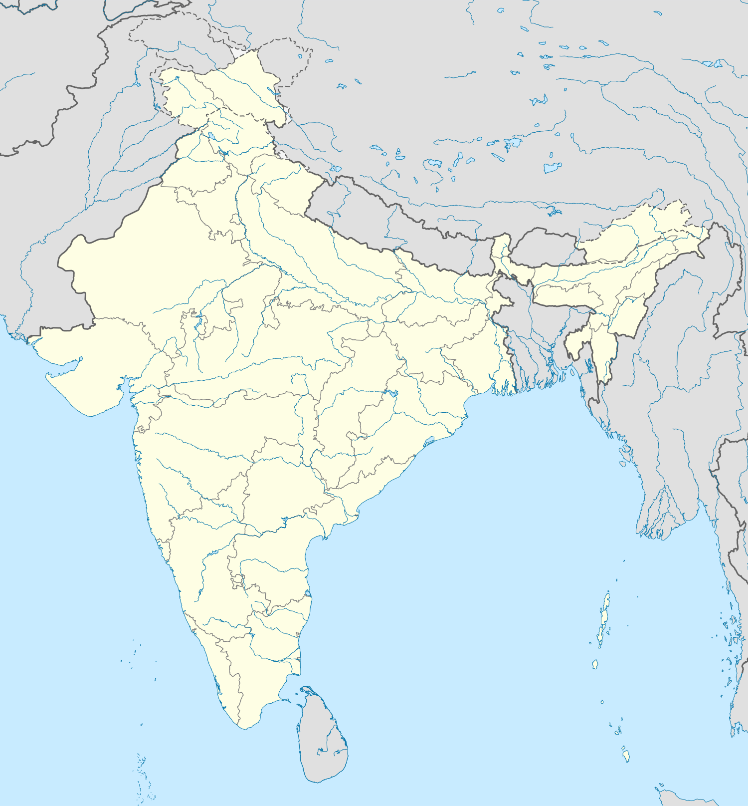 Odisha
Nearby states
West BengalJharkhandChhattisgarhAndhra PradeshOdishaRegional places
KonarkPuriOdishaRivers & relief
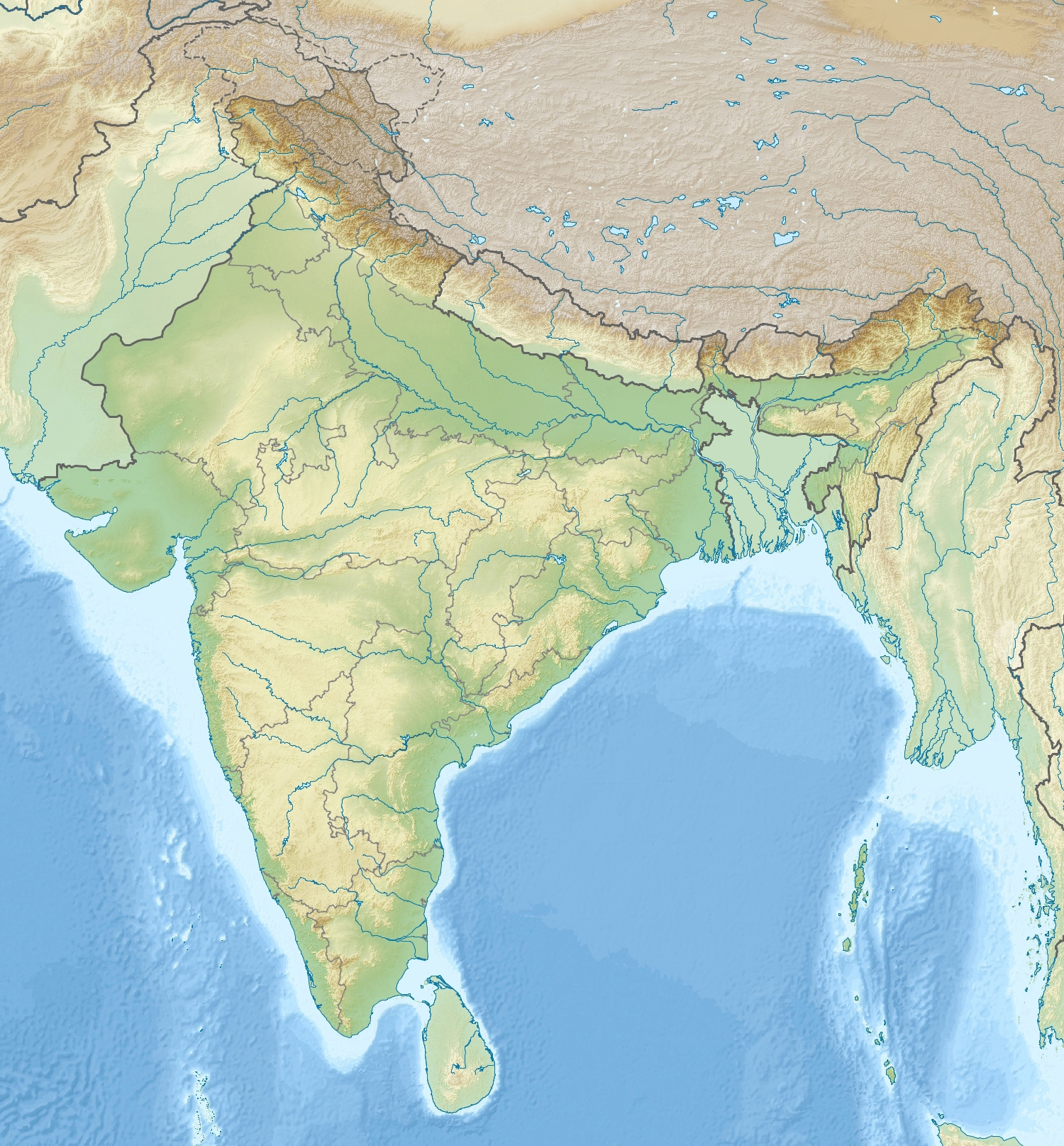 MahanadiChilika LakeOdisha
NP / WLS nearby
Similipal NPBhitarkanika NPOdishaStates: West Bengal · Jharkhand · Chhattisgarh · Andhra PradeshNearby: Konark · PuriPhysical: Mahanadi · Chilika LakeProtected: Similipal NP · Bhitarkanika NP
At a glance
Key facts
25,000 people displaced across Balasore and Mayurbhanj districts.
Flooding triggered by heavy monsoon rains in the past week.
Villages in low-lying areas remain submerged, with authorities assessing damage.
Relief camps set up to provide shelter, food, and medical aid to affected residents.
State disaster response teams and local administration coordinating evacuation efforts.
Background
Context
- Balasore and Mayurbhanj are located in northern Odisha, bordering West Bengal and Jharkhand.
- The regions are prone to flooding during the monsoon season due to heavy rainfall and river overflow.
- Local authorities typically conduct pre-monsoon preparedness, including evacuation drills and stockpiling relief materials.
Significance
Why it matters
- Displacement of 25,000 people disrupts livelihoods and access to essential services.
- Flooding in Balasore and Mayurbhanj highlights vulnerability of coastal and northern Odisha regions to extreme weather.
- Relief and rehabilitation efforts strain local resources, requiring state and central support.