Map focus
30.07°, 79.02° · maps only where geography mattersUttarakhand
CountryIndia→StateUttarakhand
India locator
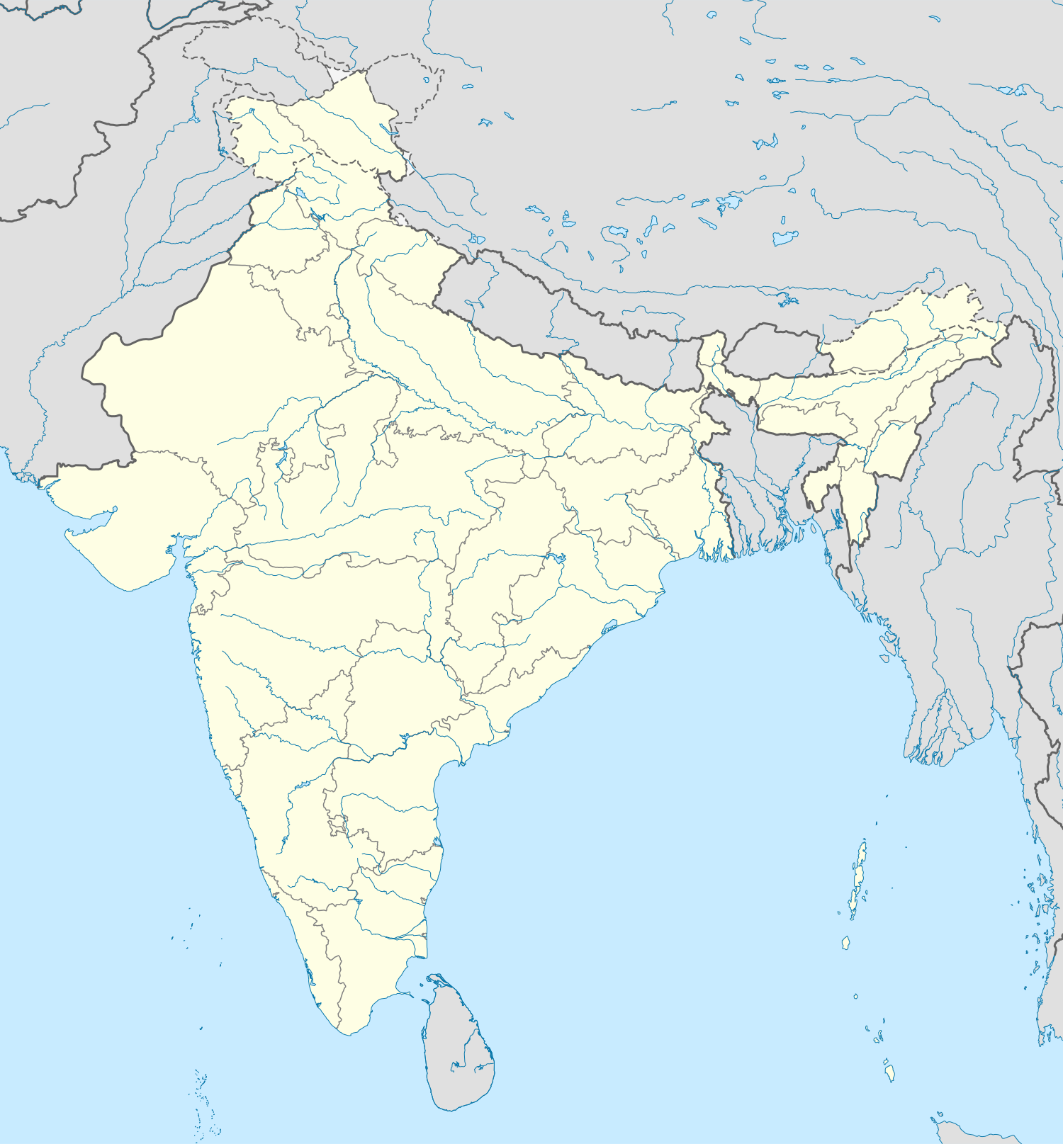 Uttarakhand
Nearby states
Himachal PradeshUttar PradeshUttarakhandRegional places
DehradunJoshimathUttarakhandRivers & relief
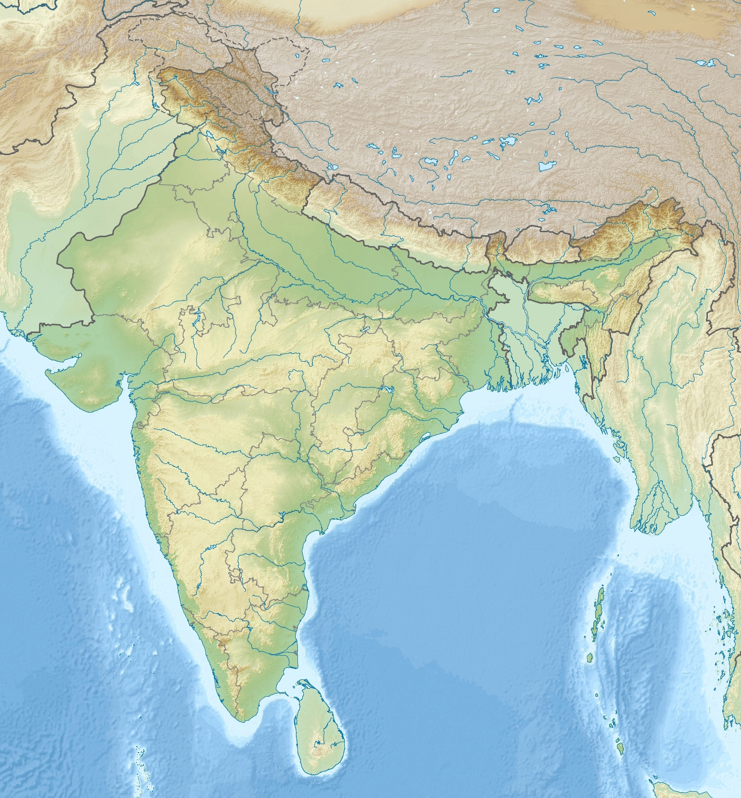 Ganga HeadwatersGreater HimalayaUttarakhand
NP / WLS nearby
Jim Corbett NPNanda Devi NPUttarakhandStates: Himachal Pradesh · Uttar PradeshNearby: Dehradun · JoshimathPhysical: Ganga Headwaters · Greater HimalayaProtected: Jim Corbett NP · Nanda Devi NP
📌 Why in News?
219 Hanging Glaciers in Alaknanda Basin: Climate Change and Cascading Himalayan Disasters
Why in News?
- A scientific study has mapped 219 hanging glaciers in the Alaknanda basin of the Garhwal Himalaya.
- These glaciers cover about 71.7 +/- 3.5 sq km and contain an estimated total ice volume of around 2.39 +/- 0.42 cubic km.
- Around 0.74 +/- 0.14 cubic km represents hanging ice mass.
- The glaciers occupy very steep terrain, with mean surface slope around 33 degrees.
- Simulations suggest potential avalanche flows could exceed 50 metres in height in parts of the Badrinath-Mana sector.
- Exposure is increasing because roads, settlements, pilgrimage infrastructure and other development are expanding in Himalayan valleys.
What is a Hanging Glacier?
- A hanging glacier is a glacier located on a steep mountain slope, cliff or elevated valley flank.
- Its lower part remains perched above the main valley floor and may terminate abruptly at a steep break in slope.
- Gravity creates substantial mechanical stress on the ice.
- Ice can be lost through calving, icefall, fracture or sudden collapse.
- Large collapse events can generate extremely destructive avalanches.
Hanging Glacier vs Hanging Valley
- A hanging glacier is an existing body of glacier ice perched above the main valley.
- A hanging valley is a geomorphological landform whose floor stands above the main glacial valley.
- Hanging valleys commonly form where tributary glaciers eroded less deeply than the main glacier.
- After glacier retreat, such tributary valleys may produce waterfalls.
- UPSC can test the distinction between the ice body and the erosional landform.
How Hanging Glaciers Develop
- Large glaciers once occupied many Himalayan valleys and tributary glaciers were connected to larger trunk glaciers.
- Climate warming causes glacier thinning and retreat.
- As the main valley glacier surface lowers, a tributary glacier can become disconnected and remain perched on a valley wall.
- Continued warming, changing ice geometry and weakening of surrounding slopes can increase instability.
Alaknanda Basin
- The Alaknanda basin lies in the Garhwal Himalaya of Uttarakhand.
- Alaknanda is one of the principal headstreams of the Ganga.
- At Devprayag, Alaknanda meets Bhagirathi and the downstream river is known as the Ganga.
- Important places in or around the basin include Badrinath, Mana, Joshimath and Chamoli.
- Important tributary systems in the broader basin include Mandakini, Pindar, Nandakini, Dhauliganga and Rishiganga.
- The basin combines glaciers, steep slopes, active tectonics, monsoon rainfall, hydropower projects and pilgrimage routes.
Key Findings of the Study
- Hanging glaciers identified: 219.
- Total mapped area: approximately 71.7 sq km.
- They account for roughly seven percent of the basin's glacierised area.
- Mapped glaciers occur across very high Himalayan elevations and steep slopes.
- Researchers classified hanging glaciers according to their geometry and potential instability.
- Avalanche modelling indicates significant downstream hazard potential in exposed sectors.
Climate Change Connection
- Himalayan warming affects both glacier ice and mountain slopes.
- Important processes include glacier thinning, retreat, increased meltwater, permafrost degradation and slope weakening.
- Climate change does not directly cause every avalanche, but it can increase the underlying conditions for instability.
Glacier Thinning
- When glaciers lose mass, ice becomes thinner and glacier geometry changes.
- Mechanical support can weaken and previously stable ice masses may become more susceptible to collapse.
- Retreat can expose steep rock faces and alter ice-rock interactions.
Permafrost Degradation
- Permafrost is ground that remains frozen for at least two consecutive years.
- High Himalayan terrain contains frozen soil, debris and fractured rock.
- Frozen ground can help stabilise mountain slopes.
- Warming can thaw this material, weaken rock joints and increase slope instability, rockfall and landslide risk.
Meltwater
- Meltwater can enter glacier crevasses, glacier beds and rock fractures.
- It may reduce friction, increase basal sliding or raise water pressure.
- Collapse generally depends on multiple interacting factors rather than meltwater alone.
Freeze-Thaw Processes
- Water enters cracks, freezes and expands, then later melts.
- Repeated freeze-thaw cycles weaken rocks and promote physical weathering.
- Changes in mountain temperature regimes can alter the intensity and location of these processes.
Cascading Hazards
- Himalayan disasters frequently involve several connected processes rather than one isolated hazard.
- A possible chain is glacier or rock collapse, ice-rock avalanche, debris entrainment, river blockage, temporary lake formation, natural-dam failure and downstream flash flood.
- The final disaster can therefore be much larger than the original collapse.
- This interconnected sequence is described as a cascading hazard.
Ice-Rock Avalanche
- Collapse of hanging glacier ice can mobilise snow, rock, soil and debris.
- The moving mass can gain enormous kinetic energy while descending steep valleys.
- It may travel long distances and destroy bridges, roads, settlements and hydropower facilities.
- Narrow Himalayan valleys can channel and intensify destructive flows.
GLOF
- GLOF means Glacial Lake Outburst Flood.
- It occurs when water stored in a glacial lake is released suddenly.
- Triggers can include moraine-dam failure, ice-dam failure, landslide or avalanche entry, heavy rainfall and earthquakes.
- A hanging-glacier collapse can indirectly trigger a GLOF by generating a displacement wave or damaging a natural dam.
- Every Himalayan flash flood is not a GLOF; the initiating process must be identified scientifically.
Chamoli Disaster
- The 2021 Chamoli disaster is a major example of cascading Himalayan hazard.
- A large rock-and-ice mass detached in the Rishiganga region and transformed into a destructive debris flow.
- Hydropower projects and downstream infrastructure suffered severe damage and more than 200 people were killed or reported missing.
- The event demonstrated that catastrophic Himalayan floods can originate from rock-ice instability even without failure of a conventional glacial lake.
Hazard, Exposure and Vulnerability
- A natural hazard does not automatically become a disaster.
- Disaster risk rises when hazard overlaps with exposed people and infrastructure and with social or physical vulnerability.
- A useful conceptual expression is Risk = Hazard x Exposure x Vulnerability.
- Himalayan exposure is increasing because of roads, hotels, pilgrimage centres, hydropower and urban growth.
Badrinath-Mana Sector
- Avalanche simulations indicate that flow heights could exceed 50 metres in some modelled scenarios in the Badrinath-Mana sector.
- The area contains settlements, pilgrimage movement and road infrastructure.
- The finding represents potential hazard under modelled failure conditions and should not be interpreted as certainty that such an avalanche will occur.
Himalayan Development Challenge
- Mountain communities require roads, electricity, hospitals, communications and livelihoods, while border regions also have strategic infrastructure requirements.
- The policy choice is therefore not development versus no development.
- The real requirement is risk-sensitive development, scientifically informed siting and engineering standards appropriate to dynamic mountain terrain.
Hydropower Vulnerability
- Himalayan rivers offer large hydropower potential, but many facilities are situated directly in river valleys.
- Projects may include dams, barrages, tunnels, powerhouses and access roads.
- Upstream glacier or rock collapse can generate catastrophic downstream effects.
- Hydropower appraisal should therefore include glacier hazards, rock avalanches, GLOFs and cumulative basin-level risk rather than relying only on individual project assessments.
Pilgrimage Tourism
- Uttarakhand receives large seasonal pilgrim flows and temporary populations can greatly exceed permanent populations.
- This increases exposure during monsoon rainfall, landslides and cryosphere-related events.
- Disaster planning requires evacuation routes, crowd management, weather alerts and carrying-capacity assessment.
Early Warning Challenges
- Hanging-glacier failure may occur rapidly.
- Possible warning indicators include accelerating glacier movement, widening fractures, abnormal meltwater and slope deformation.
- Monitoring technologies include satellite remote sensing, Synthetic Aperture Radar, GPS/GNSS, drones, seismic sensors and automatic weather stations.
- High-risk sites require repeated or continuous monitoring.
Remote Sensing
- Remote sensing is especially valuable because many Himalayan glaciers are difficult to access.
- Satellite observations can track glacier area, surface velocity, snow cover, deformation and glacial-lake changes.
- India has strong capabilities through ISRO.
- Remote sensing must be connected to scientific interpretation, district administration, warning systems and community evacuation.
Disaster Governance
- India's disaster-management framework operates under the Disaster Management Act, 2005.
- Relevant institutions include NDMA, State Disaster Management Authorities and District Disaster Management Authorities.
- Himalayan glacier hazards also require cooperation with ISRO, IMD, **Geological Survey **of India, research institutions and hydropower agencies.
- No single institution possesses all the expertise required for cryosphere-risk management.
Land-Use Zoning
- High-hazard maps should influence construction permissions, hotel siting, road alignment, hydropower design and settlement expansion.
- Existing high-risk settlements may require protective works, evacuation planning or relocation of especially vulnerable critical infrastructure.
- Hazard mapping has limited value unless it is incorporated into actual land-use decisions.
Climate Adaptation
- Himalayan adaptation should include glacier monitoring, resilient roads and bridges, early-warning systems, controlled construction and resilient power infrastructure.
- Adaptation cannot replace mitigation because continued global warming can intensify long-term cryosphere instability.
Climate Justice
- Himalayan communities contribute relatively little to cumulative global greenhouse-gas emissions yet face glacier retreat, water insecurity, floods, landslides and livelihood losses.
- This strengthens the case for adaptation finance, loss-and-damage support and climate-resilient infrastructure.
- International support must complement, not substitute for, sound local planning and governance.
Way Forward
- Create a national inventory of hanging glaciers and rank them by failure probability and downstream consequence.
- Prioritise continuous monitoring of high-risk glaciers and prepare avalanche-runout maps.
- Integrate glacier hazards into hydropower, highway and settlement planning.
- Restrict new construction in extreme-risk zones and strengthen community evacuation plans.
- Expand high-altitude weather stations, glacier research, permafrost research and basin-level disaster databases.
- Combine satellite observations with ground-based monitoring.
- Move from relief-oriented disaster management towards anticipatory risk reduction and risk-informed development.
Prelims Quick Revision
- A hanging glacier is glacier ice perched on steep mountain terrain.
- Alaknanda lies in the Garhwal Himalaya of Uttarakhand.
- The study identified 219 hanging glaciers covering around 71.7 sq km.
- Estimated total ice volume is around 2.39 cubic km.
- At Devprayag, Alaknanda meets Bhagirathi and the downstream river is called Ganga.
- GLOF means Glacial Lake Outburst Flood.
- Permafrost is ground frozen for at least two consecutive years.
- Chamoli 2021 is an important rock-ice avalanche and debris-flow case study.
Probable Prelims Question
Consider the following statements: hanging glaciers occur on steep mountain terrain; hanging-glacier collapse can trigger downstream cascading hazards; Alaknanda meets Bhagirathi at Devprayag. Correct understanding: all three statements are correct.
Probable Mains Question
Climate change is transforming Himalayan disasters from isolated events into cascading risk systems. Examine with reference to hanging glaciers, GLOFs and infrastructure development in the Alaknanda basin.
🎯
Exam map
Syllabus & Relevance
Paper: GS Paper I, GS Paper III
Theme: Environment and Disaster Management
🎯
Rapid revision
Prelims Quick Facts
Prelims facts will be updated soon.