Map focus
23.70°, 90.40° · maps only where geography mattersBangladesh
CountryBangladesh
World locator
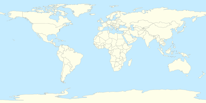 Bangladesh
India context
IndiaBangladeshRegional countries
IndiaMyanmarBangladeshSeas & rivers
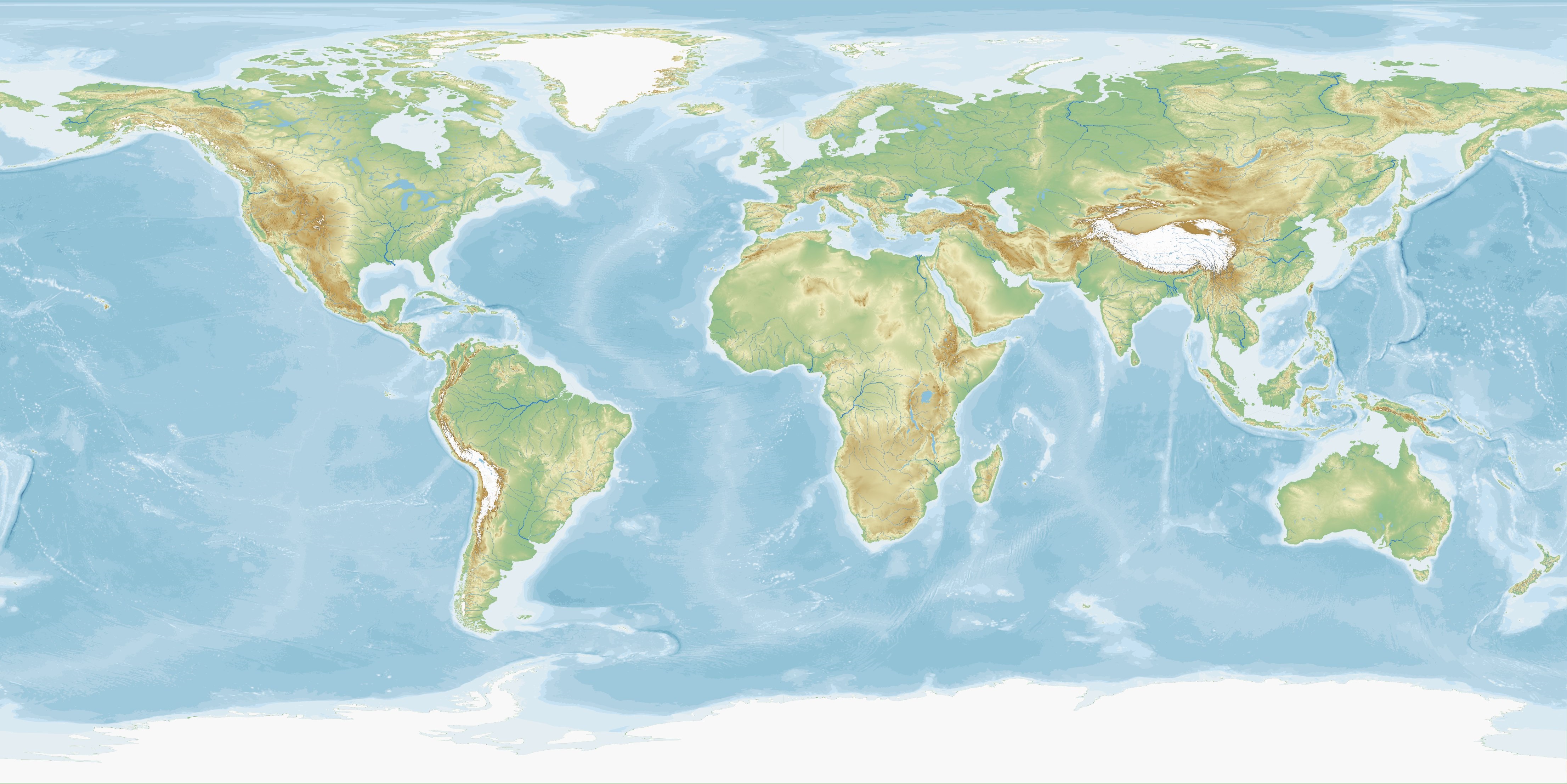 Ganga-Brahmaputra DeltaBay of BengalBangladesh
Nearby: India · MyanmarPhysical: Ganga-Brahmaputra Delta · Bay of Bengal
📌 Why in News?
Real-time hydrological data is one of the most important forms of transboundary confidence-building.
India and Bangladesh should expand automated measurement of rainfall, river discharge, sediment load, groundwater levels, salinity, water quality and ecological indicators.
🎯
Exam map
Syllabus & Relevance
Paper: GS-3
Theme: Science & Technology
🏛️
Quick base
Static Foundation
A shared digital dashboard can reduce disagreements over facts.
India's growing expertise in satellites, remote sensing, AI forecasting and Digital Public Infrastructure creates opportunities for technology-based river diplomacy.
🎯
Rapid revision
Prelims Quick Facts
Prelims facts will be updated soon.