Map focus
22.99°, 87.86° · maps only where geography mattersWest Bengal
CountryIndia→StateWest Bengal
India locator
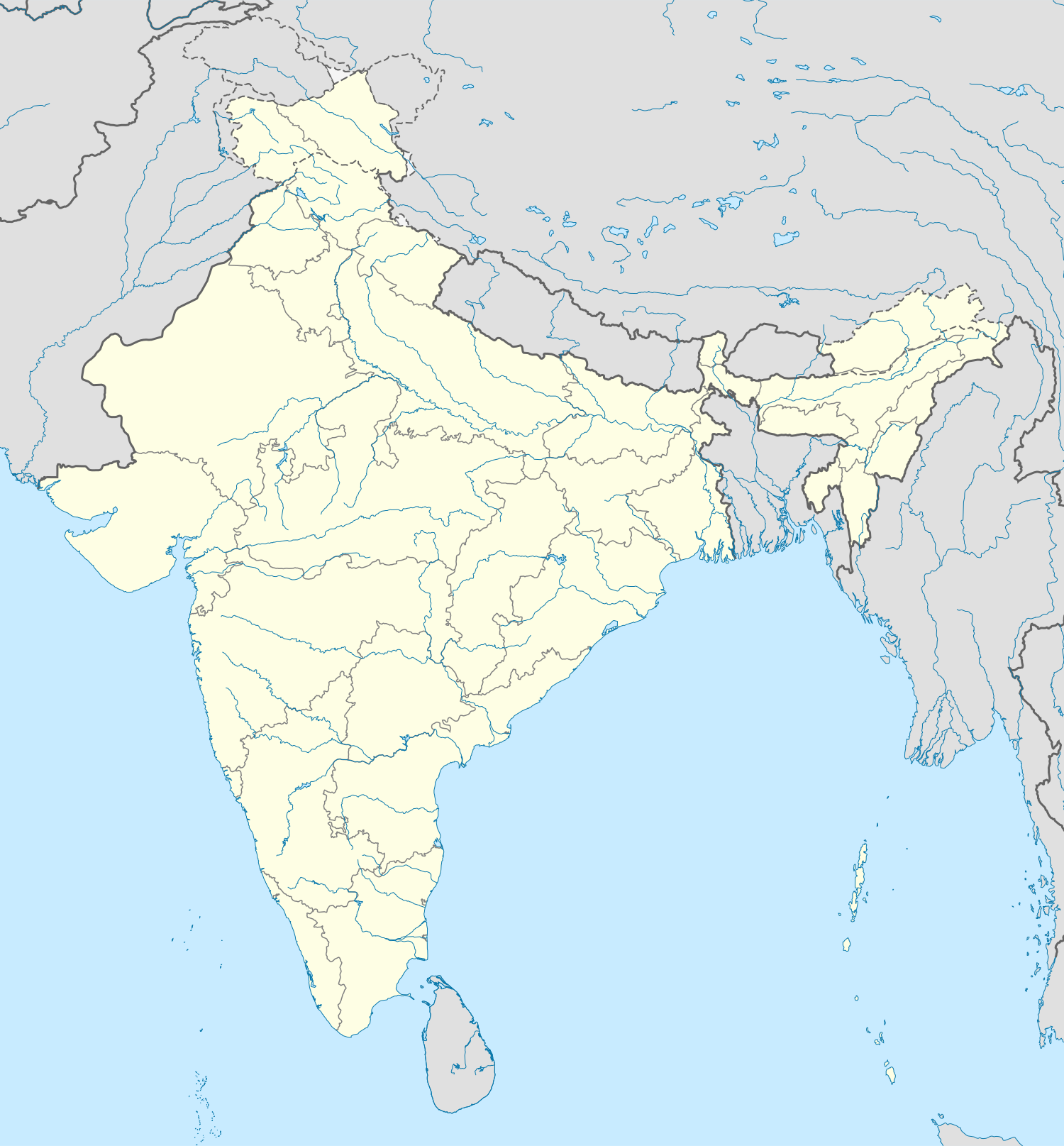 West Bengal
Nearby states
BiharJharkhandOdishaSikkimAssamWest BengalRegional places
DarjeelingSundarbansWest BengalRivers & relief
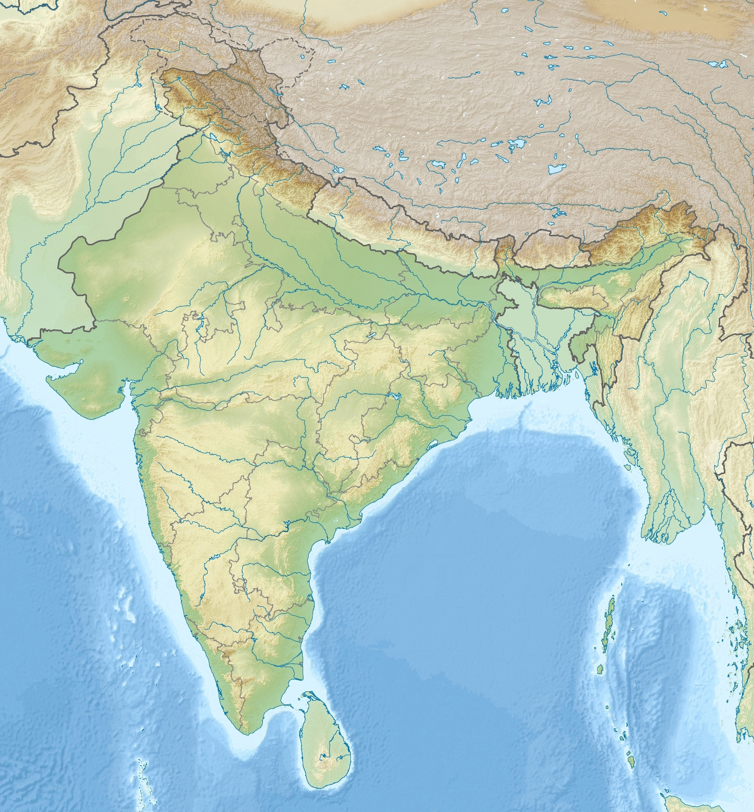 HooghlyHimalayaWest Bengal
NP / WLS nearby
Sundarbans NPJaldapara NPWest BengalStates: Bihar · Jharkhand · Odisha · Sikkim · AssamNearby: Darjeeling · SundarbansPhysical: Hooghly · HimalayaProtected: Sundarbans NP · Jaldapara NP
📌 Why in News?
The Ganga carries massive quantities of sediment. Traditional water treaties tend to allocate only water, but sediment determines river depth, channel migration, navigation, flood risk, delta formation and aquatic habitats.
The next-generation treaty should therefore consider a joint sediment-management framework. This would be especially relevant to Bihar, West Bengal and Bangladesh.
🎯
Exam map
Syllabus & Relevance
Paper: GS-2
Theme: International Relations
🎯
Rapid revision
Prelims Quick Facts
Prelims facts will be updated soon.