Map focus
26.20°, 92.94° · maps only where geography mattersAssam
CountryIndia→StateAssam
India locator
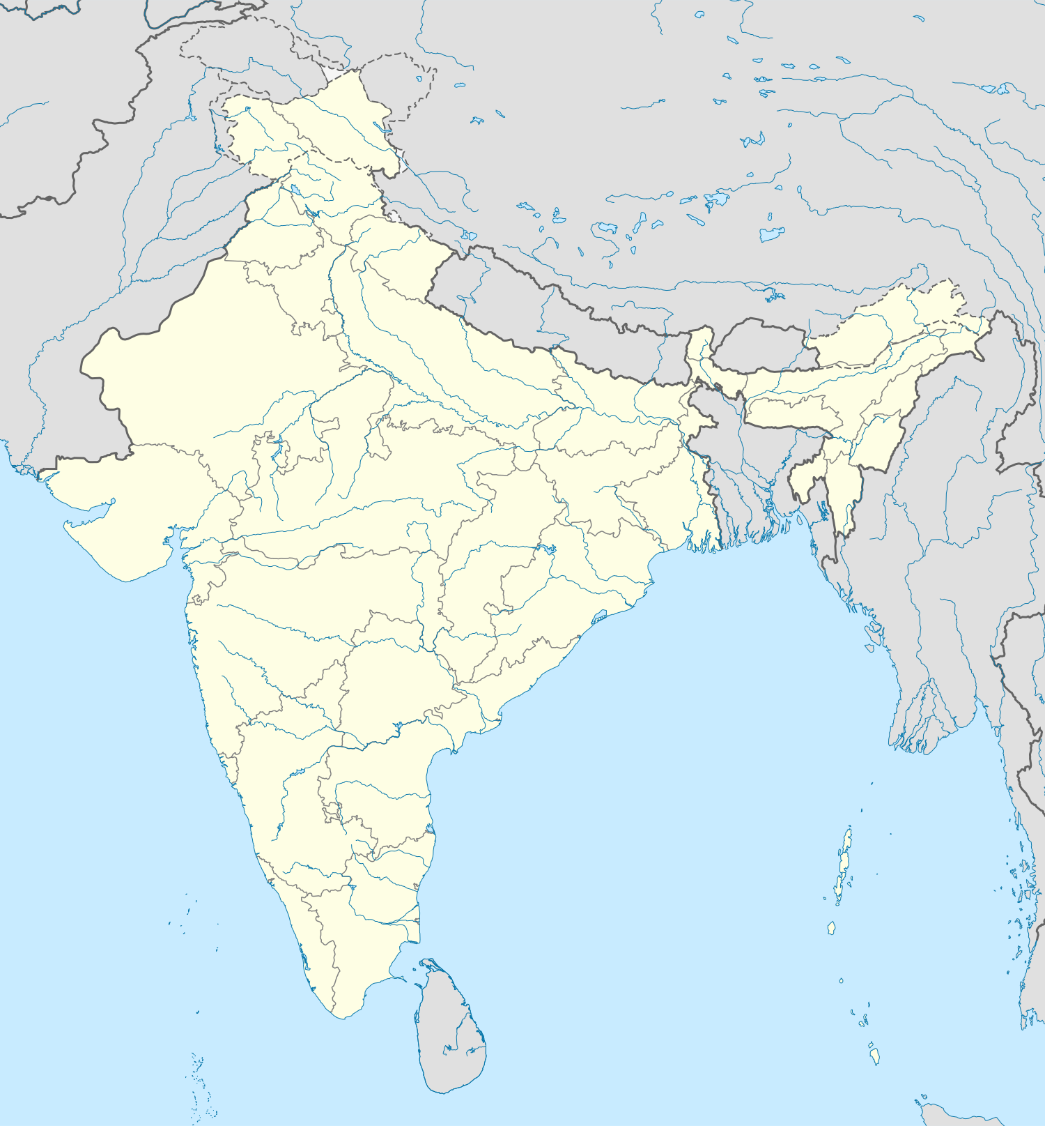 Assam
AssamNearby states
Arunachal PradeshNagalandManipurMeghalayaWest BengalAssamRegional places
KazirangaMajuliAssamRivers & relief
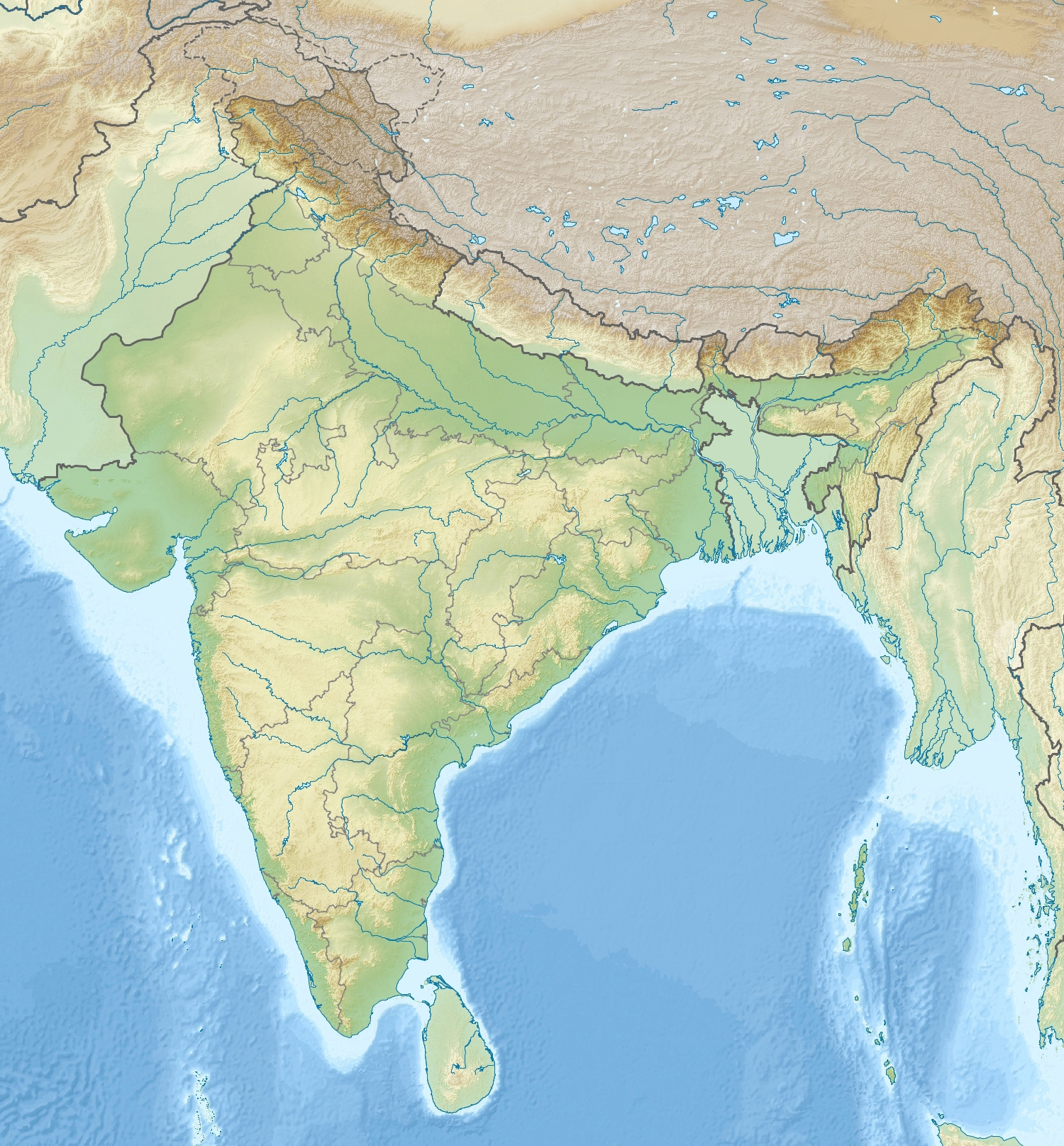 BrahmaputraBarail HillsAssam
NP / WLS nearby
Kaziranga NPManas NPAssamStates: Arunachal Pradesh · Nagaland · Manipur · Meghalaya · West BengalNearby: Kaziranga · MajuliPhysical: Brahmaputra · Barail HillsProtected: Kaziranga NP · Manas NP
📌 Why in News?
Signal CA_CATEGORY: Environment, Geography and Disaster Management CA_GS: GS Paper I, GS Paper III CA_DATE: 31 August 2026 CA_IMAGE: NO Assam Floods and Climate Attribution: Why Exposure and Vulnerability Can Matter as Much as the Rainfall Signal Why in News?
- World Weather Attribution analysed the repeated 2026 floods in Upper Assam and concluded that high exposure and structural vulnerability strongly shaped impacts, while the long-term climate-change signal in the specific rainfall metric remained uncertain.
- Between late June and early August 2026, repeated heavy to extremely heavy rainfall affected Sivasagar, Charaideo and Jorhat and adjoining hill catchments in Nagaland and Arunachal Pradesh.
- An early flood wave around 28 June affected more than 22,000 people across six districts, illustrating how moderate-to-large hazards become disasters when settlements and infrastructure are highly exposed. Attribution Science
- Core Concept
- Event attribution asks how human-caused climate change has altered the probability or intensity of a specific class of extreme event.
- Researchers compare observations and climate models representing today's warmed world with counterfactual simulations without the same anthropogenic greenhouse-gas influence.
- Results can show an event becoming more likely, less likely or remaining statistically uncertain.
- Uncertainty is a scientific result, not proof that climate change has no effect; it means the available observations and models cannot robustly quantify the change for that event metric. Hazard, Exposure and Vulnerability
- Disaster risk can be conceptualised as the interaction of hazard, exposure and vulnerability.
- Hazard is the physical event such as extreme rainfall; exposure refers to people, homes, roads and assets located in harm's way; vulnerability refers to how easily they are damaged.
- Even if the rainfall trend is uncertain, flood losses can rise because more people and assets occupy floodplains and drainage systems are degraded.
- This distinction prevents the common analytical error of treating every disaster trend as a direct climate trend. Assam's Physical Geography
- The Brahmaputra is a large braided river with high sediment load, dynamic channels and extensive floodplains.
- Upper Assam receives water not only from local rainfall but from hill catchments in Arunachal Pradesh and Nagaland.
- Rapid runoff from steep catchments can combine with saturated floodplains and tributary backwater effects.
- Riverbank erosion, channel migration and sediment deposition make flood risk spatially dynamic from year to year. Rainfall and Monsoon Mechanisms
- Northeast India receives summer-monsoon rainfall, pre-monsoon convection and orographic enhancement as moist air interacts with hills.
- Extremely wet spells can arise from monsoon trough position, low-pressure systems and moisture transport from the Bay of Bengal.
- Warmer air can hold roughly 7% more water vapour per degree Celsius under the Clausius-Clapeyron relationship, but local rainfall response depends on circulation and topography.
- Therefore, thermodynamic intensification does not automatically produce a simple positive trend at every weather station. Structural Vulnerability
- Flood impacts rise where embankments fail, roads block natural drainage, wetlands are filled or housing is built in frequently inundated zones.
- Poverty increases vulnerability because households have fewer savings, weaker housing and less ability to relocate or insure assets.
- Repeated floods can cause cumulative losses: damaged crops, school disruption, livestock deaths, health costs and erosion of household capital.
- Disaster-management policy must therefore reduce vulnerability even when climate attribution remains uncertain. Wetlands and Natural Storage
- Floodplain wetlands and beels store water temporarily, reduce peak runoff and support fisheries and biodiversity.
- Encroachment or hydrological disconnection can reduce this buffering capacity.
- Restoration should focus on maintaining river-floodplain connectivity rather than converting all floods into an engineering problem.
- Nature-based solutions complement embankments but cannot eliminate risk during extreme basin-wide events. Early Warning
- Effective warning requires rainfall forecasts, upstream river-gauge data, inundation models and last-mile communication.
- A warning has value only if people know what action to take and can reach safe shelter with livestock and essential documents.
- Impact-based forecasting translates rainfall or river-level predictions into expected consequences for specific settlements and infrastructure.
- Community-level evacuation plans are especially important where roads themselves may flood. Climate Adaptation vs Loss Reduction
- Climate adaptation includes flood-resilient housing, raised platforms, crop-calendar adjustment, resilient roads, wetland restoration and early warning.
- Development planning can either reduce or manufacture future disaster risk depending on where roads, settlements and industry are placed.
- Attribution science helps estimate changing hazard, but exposure mapping and vulnerability surveys guide immediate investment.
- Assam therefore needs both climate science and conventional floodplain governance. Why Attribution Must Be Communicated Carefully
- Statements such as 'climate change caused this flood' can overstate evidence because flooding also depends on land use, river morphology and exposure.
- The opposite claim
- that uncertain attribution means climate change is irrelevant
- is equally misleading.
- Scientific communication should state which variable was tested, the confidence range and the non-climatic drivers of impact.
- This nuance is valuable for GS-III answers on disaster management and climate science. Way Forward
- Expand high-density rainfall and river-gauge networks in Upper Assam and transboundary hill catchments.
- Protect floodplain wetlands and enforce risk-sensitive land-use zoning.
- Upgrade embankment inspection and drainage design using future climate and sediment scenarios.
- Move toward impact-based forecasts and pre-agreed evacuation triggers.
- Integrate attribution research with exposure and vulnerability data so adaptation funding targets the causes of actual losses. Prelims Quick Revision
- WWA 2026 Assam study: Upper Assam, especially Sivasagar, Charaideo and Jorhat, with adjoining Nagaland and Arunachal Pradesh catchments.
- Initial late-June flood wave affected over 22,000 people across six districts.
- Attribution compares today's climate with a counterfactual world without equivalent human forcing.
- Risk depends on hazard + exposure + vulnerability.
- Clausius-Clapeyron: air's moisture-holding capacity rises roughly 7% per °C, but rainfall response is region-specific. Probable Mains Question Climate attribution and disaster attribution are not the same exercise. Explain with reference to the 2026 Assam floods and the roles of exposure, vulnerability and river-floodplain dynamics.
🎯
Exam map
Syllabus & Relevance
Paper: GS-3
Theme: Environment
🎯
Rapid revision
Prelims Quick Facts
Prelims facts will be updated soon.